Las Vegas is known as the city of Lights. In addition, this city is more about casino and nightlife glamor. If you are not the person who loves to gamble then there are plenty of natural places around Las Vegas. You can either rent a car or search for day tour companies and their packages. I personally prefer a rental car because I can decide the time and itinerary my way. But you can decide whatever convenient for you. The Red Rock Canyon is hardly 20 miles from Las Vegas. It has a 13-mile one-way scenic loop drive. You can easily plan a “Day trip to Red Rock Canyon from Las Vegas”. Also, don’t forget to check “Free things to do in Las Vegas” and save money while traveling.
1000 Scenic Loop Dr, Las Vegas, NV 89161
Tips to explore Red Rock Canyon
- If you are planning to hike, then stop by the visitor center and check the status of the trail.
- Take plenty of water, as there is no facility on the scenic loop except visitor center.
- Wear sunglasses, sunscreen, and a hat to stay safe in the summer.
- Watch your footing as the area is a bit rocky.
- If you are planning to spend the whole day, then bring plenty of food with you.
- You need to take permit for rock climbing.

Day trip to Red Rock Canyon from Las Vegas
We started at 9:00 am from our hotel for the Red Rock Canyon trip. It was around 30 mins drive from our hotel. At the entrance, you need to buy Daily Pass which cost $7. If you already have an annual pass which allows by Red Rock Canyon then you don’t need to buy. They will also provide the brochure in which all hiking trails are listed with miles and required hours. After taking our daily pass we stop by the visitor center. I would suggest you to just stop by the visitor center because the view you will get from the visitor center is incredible.

Calico Basin
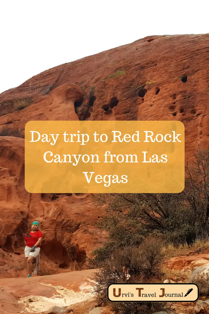
We talked with the park ranger about the status of trails and must-visit points in the park. The Calico 1 was closed due to construction. Hence he suggested stopping by Calico 2. Our first stop was Calico 2 and best place to see Calico Hills very closely. We decided to hike to the base of Calico Hill. It was around half a mile going down from the parking lot. But the view is beautiful and due to rain, it was looking shiny. We spend around one and half hour around Calico Hills. Just be careful when you hike downward as it kind of stiff. Calico Hills has 6-mile hiking, but we did around a mile hike and get back. You can see a picture below, where I am standing at Calico Hill’s base.

High point Overlook
After that, we continued to the scenic loop and stopped at Highpoint overlook. This is the highest point in the park at the elevation of 4771 ft. There is a small parking lot where you can park and enjoy the view. In summer, it’s better to start early before the crowd hits the park.

Lost Creek
After Highpoint overlook, we head to Lost Creek. From the scenic route, turn on Rocky Gap Road, it is an unpaved road. There is a Willow Spring picnic area and hiking trail at Lost Creek. White Rock and willow spring trails are connected. Hence, you can plan to hike both if you want. There are three parking lots, where you can park and all connected with the hiking trail as well. The Lost creek trail loop passes through several pictographs and agave roasting pit site.


You can certainly see your expertise in the work you write. The arena hopes for more passionate writers like you who aren’t afraid to say how they believe. All the time follow your heart.